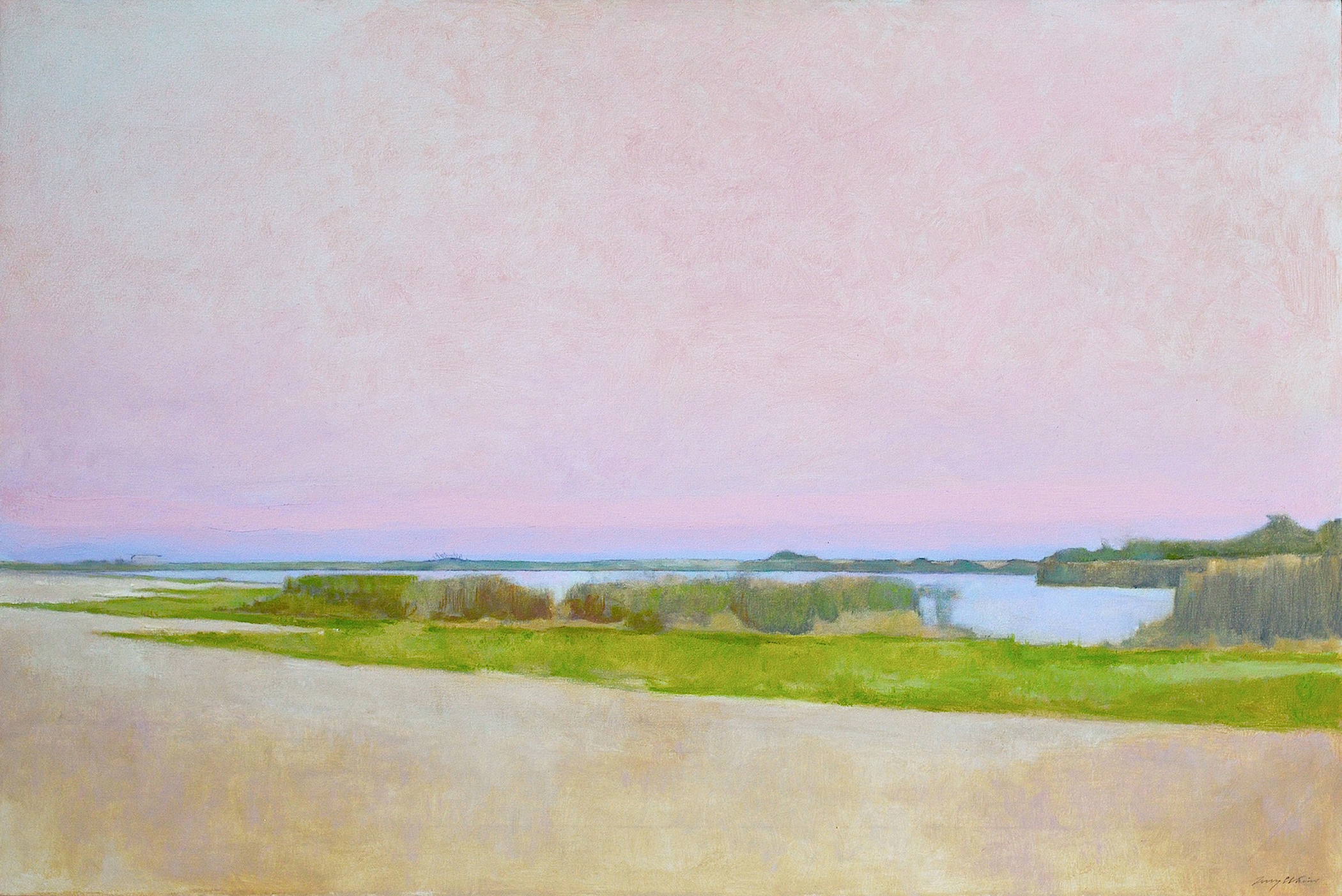

Double Dories, oil painting on collage, 44″x77″
I found an old set of nautical charts in my studio when I moved in. I pinned the charts on the wall and noticed how they connected from Eastern Long Island to Cape Cod. It wasn’t long before I began to use them in my work, at first drawing simple nautical images over the chart. The I started taking a chart, making a collage and reformatting the area I wanted to draw on, tearing off the borders, laying them out to the size I wanted, making a smaller chart that would fit a composition I had in mind. Sometimes I would lay out two connecting charts for a larger format. Consequently I made an important realization using the charts. Looking at them over and over they oriented me to my new surroundings like a map for a traveler. I began to notice how much the East End is surrounded by water with beaches, bays, coves and harbors. This was the beginning of something I’ve worked on for the last thirty years, using the charts for collage and superimposing images over the chart by drawing on them with pencil. These simple dory drawings in pencil or charcoal developed as ideas evolved into more images of boats and ships. Then came lighthouses and more images of littoral subject matter. I also started painting on the charts. The piece above, “Double Dories” was painted on adjoining charts that were mounted on a gessoed wood panel. If you look close you can make out the chart of the North and South forks of Long Island underneath the paint. This particular piece is meant to evoke a feeling of lament about the East Hampton Baymen who used this simple boat to fish offshore, in and around the bays here. This used to be a thriving way of life here, hard work but a way to make a sustainable living form the sea. Now their dories are used, empty and drifting about, a reminder of a way of life that once flourished around the East End and now has all but disappeared.
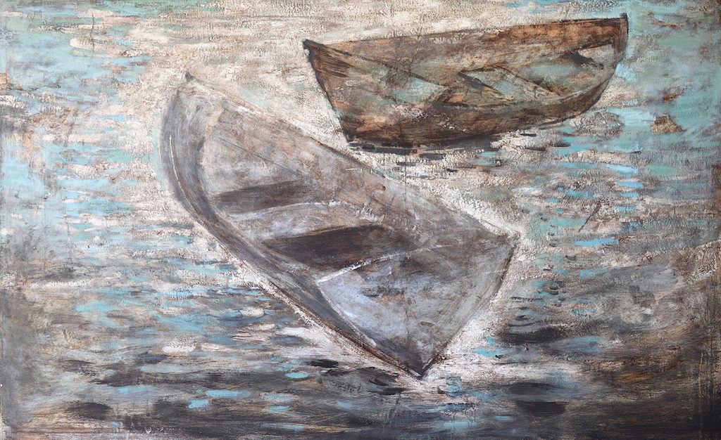
Montauk Dories, pencil on collage, 13″ x 19″
I found this idea of drawing on collage was clever for lack of a better way to describe it. When people were looking at the drawings they were also looking for any area of the chart they might recognize like where they lived or a place they had sailed into. It was an allegorical hook to catch their attention and to reel them in. They would see this drawing of a ship and then noticing it was on a chart that drew them in a little closer. Sometimes I would even land a sale or a commission to do something over a chart that was important to that particular buyer.
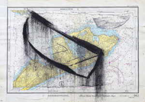
Island Sound, pencil on collage, 17″x16″, private collection
I enjoy doing these a lot. The collage is the easiest part, tearing off the boarders and rearranging the pieces, then mounting or simply sticking them onto a backboard. The drawing part seems to take the most effort. It’s difficult at first to juxtapose a drawing on something that already has a drawing on it, especially one with so much detail. Then, I can easily spend 10-20 hours or longer on the drawing part. And they don’t always turn out that well either. Something doesn’t look quite right so I never finish that piece. I’ll get sidetracked or bored or realize it just wasn’t that great an idea. When I started doing these nautical drawings they were printed by NOAA on good paper. It was easy to tear for the collage and the paper had a nice tooth that made it easy to draw on and erase.
NOAA doesn’t print charts any longer partly because they’re are always being updated and expensive to produce. Now you can simply download them yourself or order them online from a distributor. The charts are printed out on print paper. The paper and the color aren’t the same as the old ones. If you happen to have any old paper charts and want to pass them on let me know. I can use them.
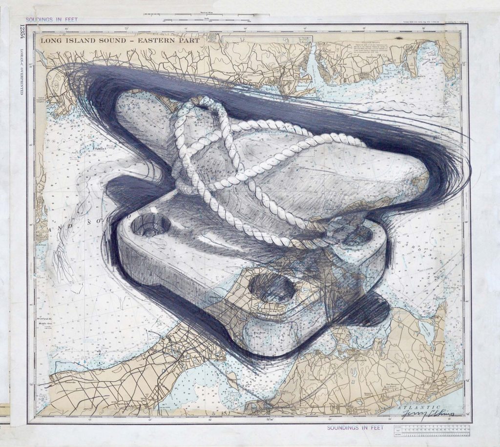
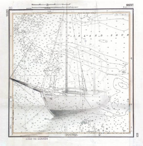
Long Island Sound, pencil on collage, 26″x29″
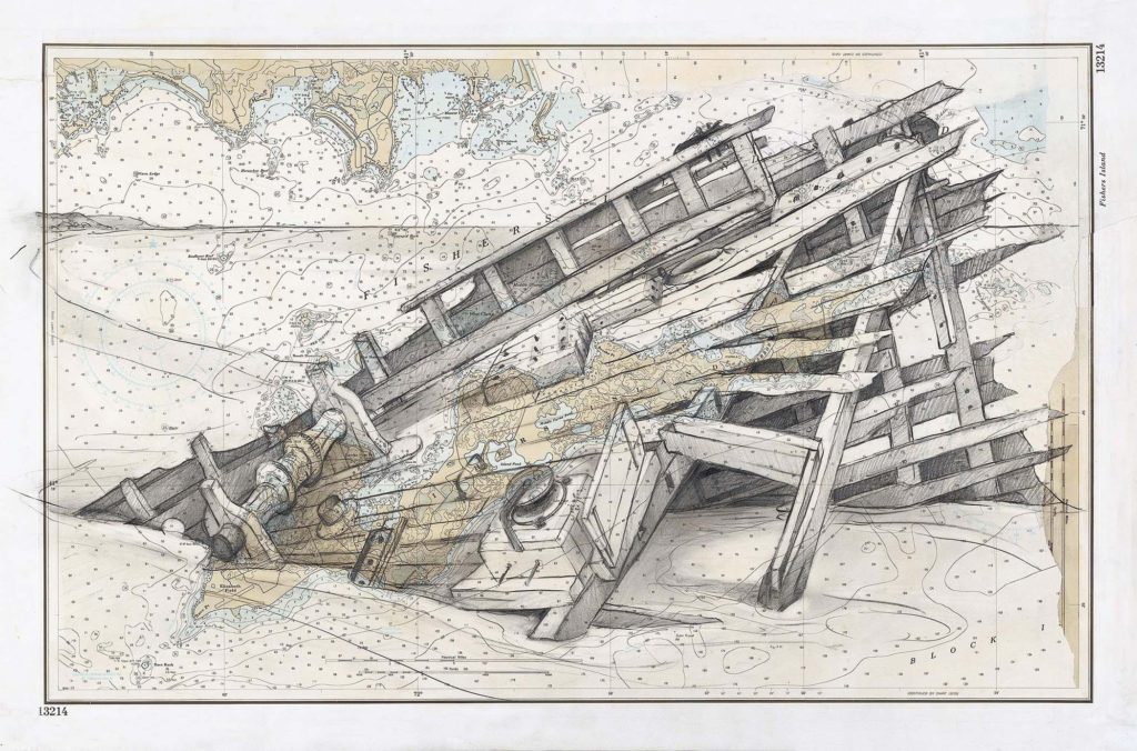
Fishers Island, pencil on collage, 23″x29″